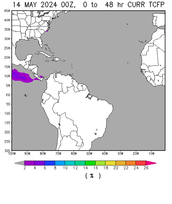
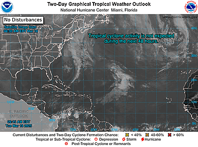
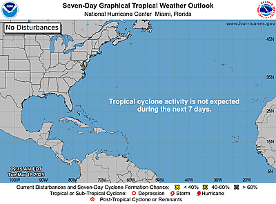
ZCZC MIATWOAT ALL
TTAA00 KNHC DDHHMM RRA
Special Tropical Weather Outlook
NWS National Hurricane Center Miami FL
410 PM EDT Wed Apr 24 2024
For the North Atlantic...Caribbean Sea and the Gulf of Mexico:
1. East-Central Subtropical Atlantic:
An area of low pressure located about 900 miles northwest of the
Cabo Verde Islands has been producing a small but persistent area
of showers and thunderstorms to the east of its center since this
morning. However, the low is forecast to move southwestward at 10
to 15 mph into an area of stronger upper-level winds tonight and
tomorrow, and additional development is not expected.
No additional Special Tropical Weather Outlooks are scheduled for
this system unless conditions warrant. Regularly scheduled
Tropical Weather Outlooks will resume on May 15, 2024, and Special
Tropical Weather Outlooks will be issued as necessary during the
remainder of the off-season.
* Formation chance through 48 hours...low...10 percent.
* Formation chance through 7 days...low...10 percent.
Forecaster Berg/Brown

 Meteo-SBH.com


